Heat – level 3 warning
A level 3 heat warning is in effect, with an 80% probability of the phenomenon occurring.
Very high temperatures are forecast. During the day, thermometers may show from 34°C to 38°C, and locally even from 36°C to 42°C. It will be slightly cooler toward the end of the warning period, when the maximum temperature will range from 28°C to 34°C. Nighttime temperatures are expected to range from 19°C to 24°C.
The warning is in effect from June 27, 2026, at 10:00 a.m. to June 29, 2026, at 8:00 p.m..
Thunderstorms – level 2 warning
In addition, a level 2 thunderstorm warning has been issued. The probability of the phenomenon occurring has been assessed at 75%.
According to forecasts, local thunderstorms may occur, accompanied by very heavy rainfall of 20 to 30 mm, locally up to 40 mm. Wind gusts of up to 90 km/h, locally even up to 100 km/h, are also expected. Hail is possible.
The warning is in effect from June 28, 2026, at 5:00 p.m. to June 29, 2026, at 2:00 a.m..
Recommendations for residents
In view of the forecast phenomena, the following is recommended:
- avoid prolonged exposure to the sun,
- stay properly hydrated,
- secure items located on balconies and properties,
- avoid parking vehicles under trees,
- exercise particular caution during thunderstorms and strong wind gusts.
Services urge residents to follow current weather reports and comply with safety recommendations.
In Poland, weather warnings use a three-level hazard scale. The higher the level, the greater the probability of dangerous phenomena occurring and their potential consequences.
Level 1 warning (yellow)
This indicates the possibility of dangerous weather phenomena that may cause disruptions and local damage.
Examples of effects:
- disruptions to road traffic,
- local flooding,
- individual cases of damage to trees or power lines.
Level 2 warning (orange)
This indicates the occurrence or high probability of dangerous phenomena causing significant material losses and posing a threat to health and life.
For a warning issued for our region, this means that thunderstorms may be strong enough to cause:
- branches and trees to break,
- damage to roofs,
- power outages,
- local flooding after intense rainfall,
- a threat to people outdoors.
Level 3 warning (red)
The highest warning level. It indicates the occurrence of extremely dangerous weather phenomena that may cause widespread damage and pose a serious threat to life.
In the case of the level 3 heat warning for Bolesławiec County:
- temperatures may exceed 40°C,
- the risk of heatstroke and dehydration increases,
- older people, children and those with chronic illnesses are particularly at risk,
- problems with infrastructure operations, such as energy or transport systems, are possible.
How should these warnings be interpreted together?
Currently, the following warnings are in effect for Bolesławiec County:
- Level 3 for heat – very high health risk,
- Level 2 for thunderstorms – high risk associated with severe atmospheric phenomena.
This is a particularly dangerous combination, because violent thunderstorms with very strong winds, torrential rain and hail may occur after a period of extreme heat. In practice, this means it is necessary to exercise particular caution both during the day (heat) and in the evening and at night (thunderstorms).
Where can you find the latest weather for Bolesławiec?
Current weather data and a forecast for the next 6 days can be found on the Bolesławiec website istotne.pl/boleslawiec/pogoda
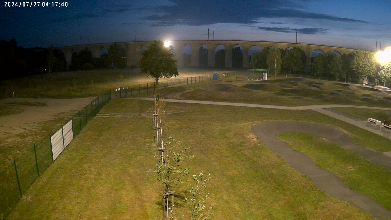
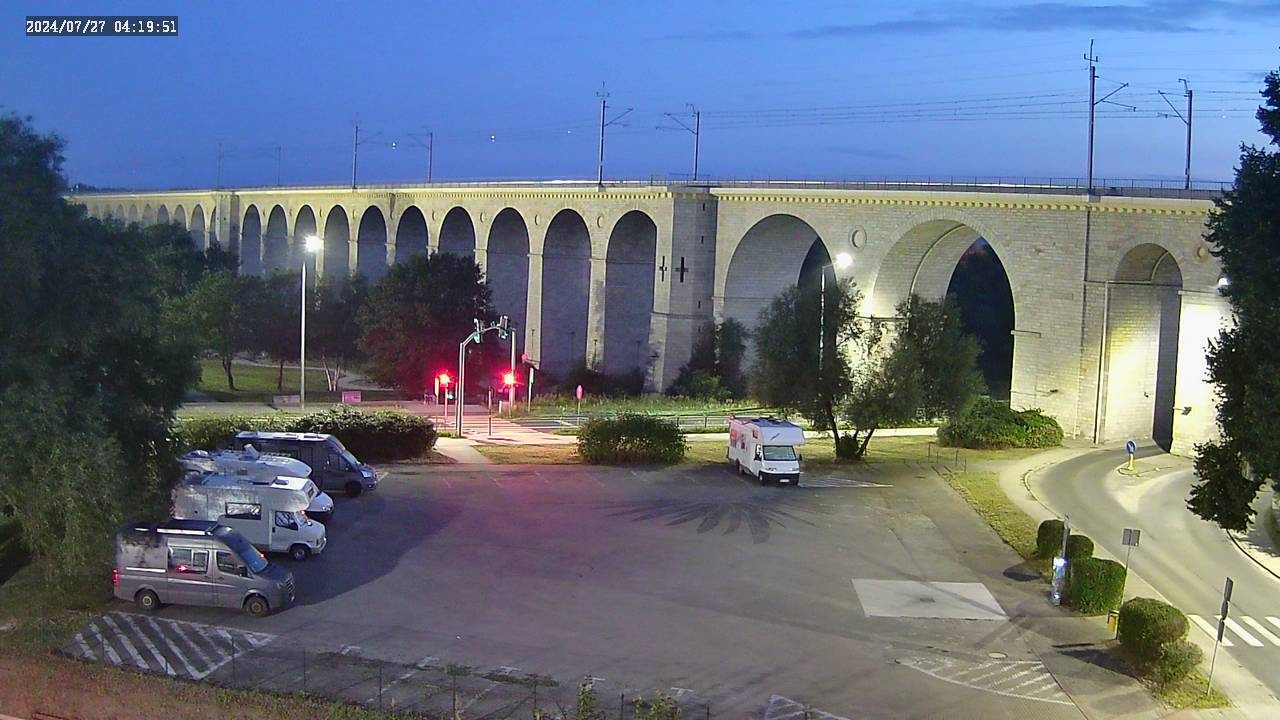
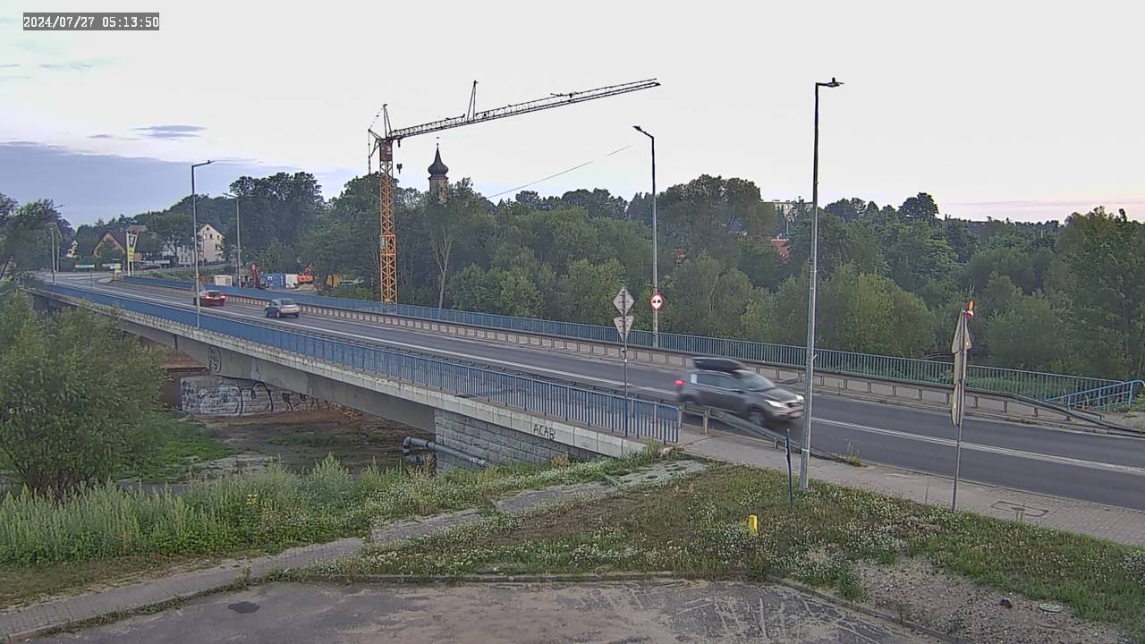
Bolesławiec on live cameras